
Coverage of the offshore waters from Charleston Light out to a minimum of 87 miles to Cape Canaveral on one side. Coastal coverage from Fernandina Beach south past the St. Johns River entrance to the St. Augustine Inlet on the reverse side. A detail of the St. Augustine area on the coastal side. This is the perfect offshore navigation map for boaters, divers, and fishermen. Coverage of the offshore waters runs from Charleston Light out to a minimum of 87 miles to Cape Canaveral on one side. Coastal coverage from Fernandina Beach south past the St. Johns River entrance to the St. Augustine Inlet on the reverse side. A detail of the St. Augustine area on the coastal side. The vibrant colors make it easy to decipher water depths. If you boat this area often, you will want to frame this navigation chart and display it proudly on your home or office wall.
Sale!
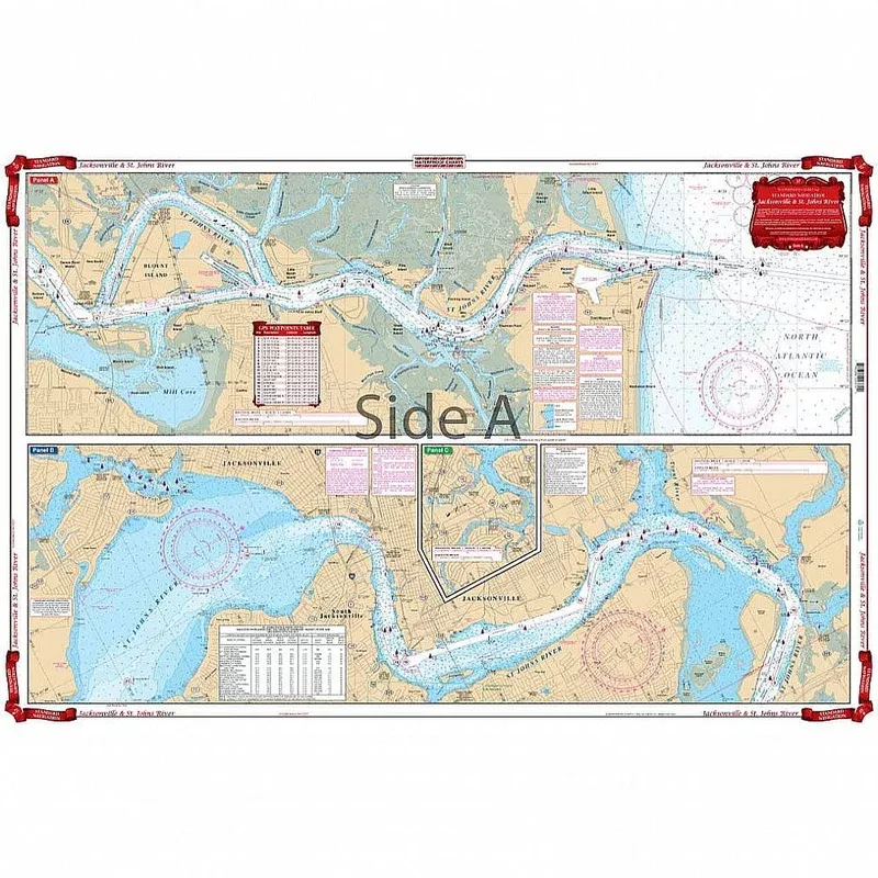
Waterproof Charts 37 Jacksonville & St. Johns River Standard Navigation
Original price was: $16.77.$12.09Current price is: $12.09.
Free shipping on orders over $50Related products
-
Sale!
 hot sale
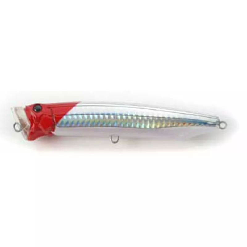
Tackle House Narrow Reflect Feed Popper 100 NR1
Original price was: $16.90.$8.61Current price is: $8.61. Add to cart -
Sale!
 hot sale
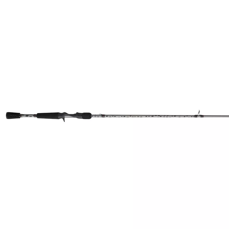
Abu Garcia VENC70-5 Vengeance Casting Rod 7′, Medium, 1 pc. JC18157784
Original price was: $19.25.$11.60Current price is: $11.60. Add to cart -
Sale!
 hot sale
Alpini: Italian Mountain Troops
Original price was: $21.00.$13.70Current price is: $13.70. Add to cart -
Sale!
-
Sale!
-
Sale!
 hot sale
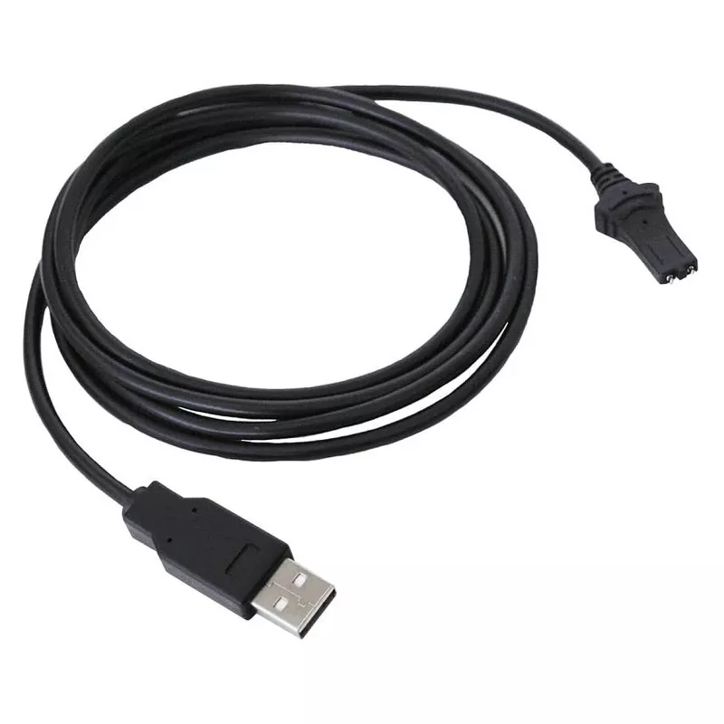
Minn Kota Charging Cable For I-pilot Link Remote
Original price was: $13.71.$9.51Current price is: $9.51. Add to cart -
Sale!
 hot sale
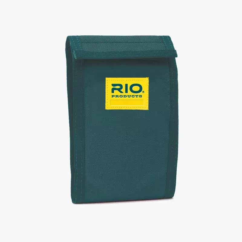
RIO Products Leader Wallet
Original price was: $13.99.$8.68Current price is: $8.68. Add to cart -
Sale!
 hot sale
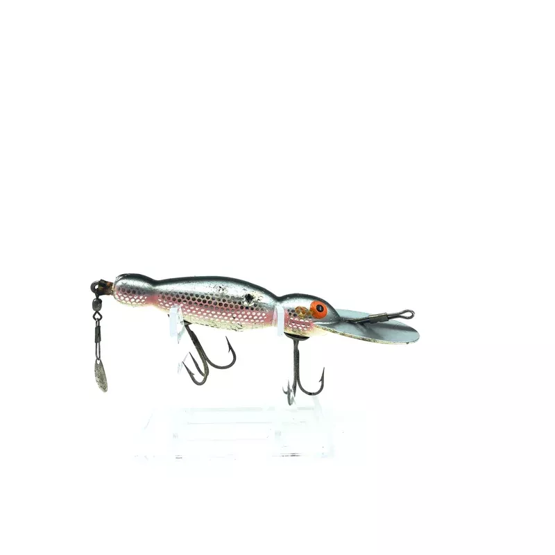
Bomber Wooden Waterdog 1600 #33 Shiner Scale Color
Original price was: $5.59.$3.93Current price is: $3.93. Add to cart